Directions to Gathering Light ... a retreat from Medford, Oregon | |
|
| |
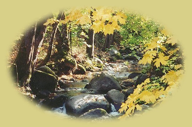
Turn east on 140. Stop at the mountain lakes up here if you choose: Fish Lake, Lake of the Woods right off the road, watch for lava flows and a spectacular view of Mt McLoughlin near the summit off to the right. Stay on 140 until you see signs for Fort Klamath and Rocky Point ~ this will be soon after you see the 43 mile marker. There is only one way to turn, it's left, do so.
Look off to your left and see Mt. Mazama, the peak of Crater Lake and Mt. Scott, which forms the eastern boundary of the lake. Stay on 7 Mile Road until it ends, and turn right when it does. In about a half of a mile you'll need to turn left.
Turn left onto Loosely Road. Stay on Loosely until you come to Hwy 62, or Crater Lake Hwy as it's otherwise called.
Turn left on the Sprague River Hwy. It's the first left after the railroad tracks. (A directional sign calls this road a highway; a street sign calls it a road. Just remember you want to get on the road to Sprague River, you'll do fine.) Check the mile markers. Not long after the 1 mile marker, you'll see a power station on the right; this marks the corner of Chiloquin Ridge Rd. (If you see the 2 mile marker, you'll know you've gone too far.)
Turn right; follow Chiloquin Ridge Rd for a little over a mile. You'll see the sign on the right, Nature Retreat. Turn and drive about a quarter of a mile to the manager's cabin. :-) | |
|
Travel Oregon and northern California while staying at Gathering Light ... a retreat | |
|
|
Forward ~ Diverse Loop Tour Travel Guide, one of the Day Trips Back ~ Directions to the retreat from Jedediah Smith Redwoods Directions to and Day Trips of about 100 miles from the retreat. Little Known Scenic Places near to Crater Lake and the retreat: Directions, Map and Scenery . Local Maps Introduction. |
|
Contact Brad at Gathering Light ... a retreat. | |